| Main facility: |
Station (Closed)
|
| Lines: |
Captains Flat Branch
|
| Location: |
(149.4368°, -35.5880°) [exact] GDA94
|
| Distance: |
332.200 km from Sydney
|
| History: |
| 7-Jun-1940 | Opened |
| 31-Aug-1968 | Closed |
| 8-Aug-1969 | Re-opened |
| 27-Aug-1969 | Closed |
|
| Other facilities: |
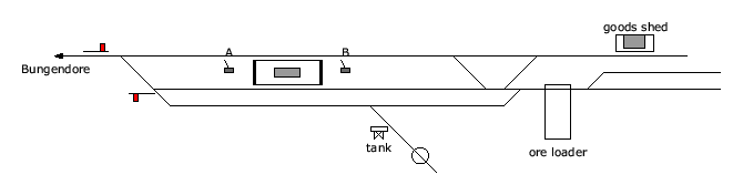
Turntable: 60' manual, closed (Sellers turntable) |
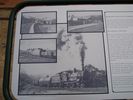
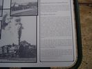
| Photos: |
1986, 2000, 2001, 2005, 2006, 2008 |
| Description: |
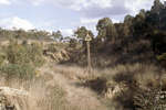
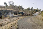
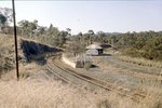
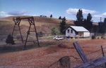
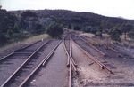
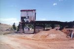
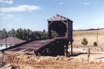
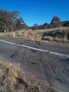
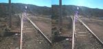
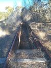
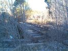
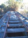
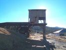
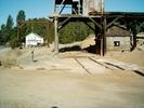
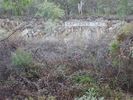
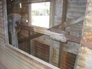
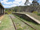
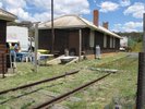
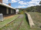
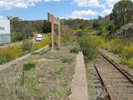
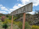
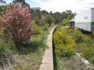
The station resided on a 63m curved island platform, located between the arrival and departure roads. There was also an engine run-around line and turntable, water tank and ash pit. Beyond the station area was the yard where the nearby mines would load their ore. An elevated loading ramp sat over the main line, with a goods shed on the adjacent siding.
|
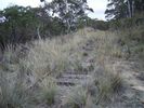
| Current status: |
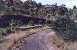
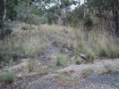
Much of the station and surrounds is still intact although somewhat overgrown. The station, which is now privately-owned still retains its name board. The yard (1/2 km away) are also largely intact. The elevated loading bin was demolished by ARTC in 2010.
|